
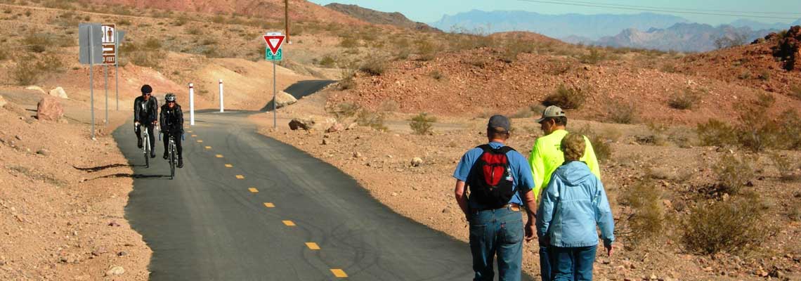
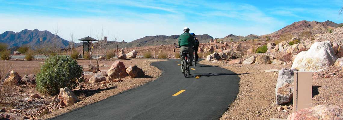


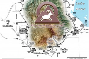
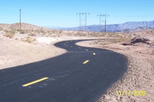
River Mountains Loop Trail - Trailheads Trailheads are the starting points or "official" access points to the River Mountains Loop Trail. The trail … [more...]
Recent Blog Posts
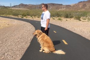
Dogs on the Trail
Ruffing it Out Written by Jocelyn Brown With winter coming to a close and spring quickly approaching, now is a great time to hit the trails … [more...]
About the Trail
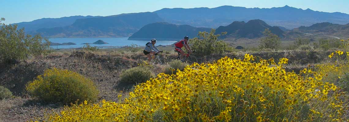
River Mountains Loop Trail
About the River Mountains Loop Trail The River Mountains Loop Trail is Nevada's first endeavor of its kind. Constructed through a combined … [more...]
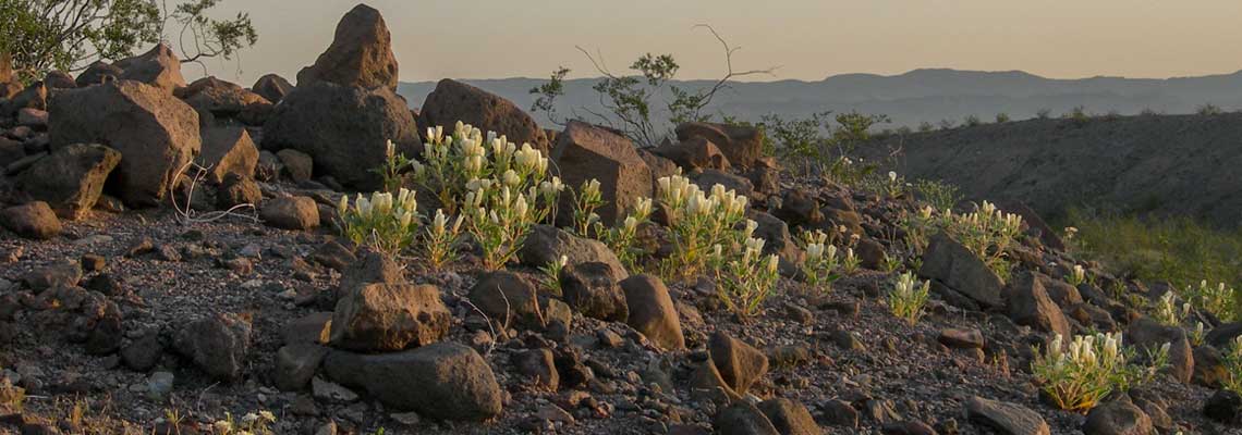
Geology
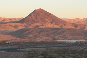
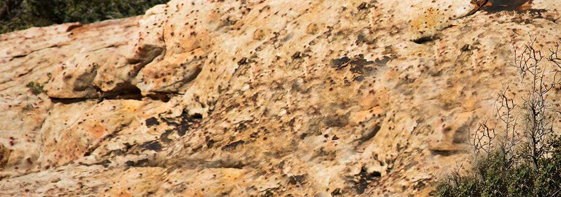
Geology of the River Mountains
Volcanoes? This phrase will certainly get the attention of many, particularly those who are not familiar with the geology of the River Mountains. … [more...]
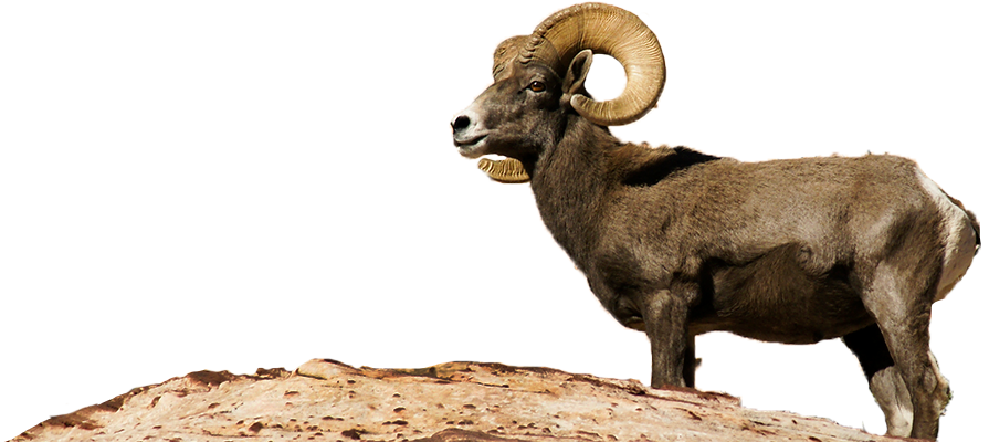
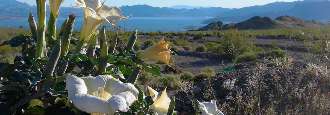
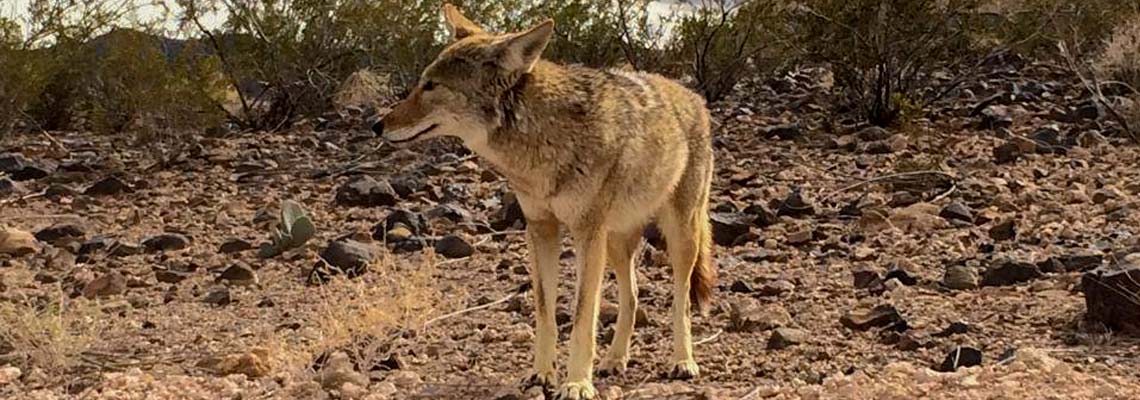
Wildlife
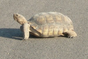
Desert Tortoise
The Mojave Desert is home to the desert tortoise which is listed as a "Threatened " species under the Edangered Species Act. … [more...]
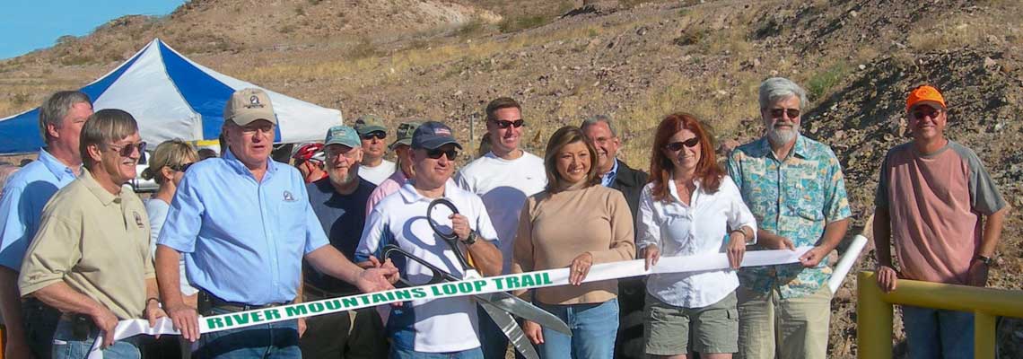
History
History of the Trail
The history of the River Mountains Loop Trail is interesting since it represents a dream come true for many of those involved. Quite a few citizens and … [more...]